
RECORDED COURSE · 1-YEAR ACCESS
Drone Mapping: From Images to 3D Models
Turn drone images into orthomosaics, DSM/DTM and 3D models, from flight planning to final maps, step by step.
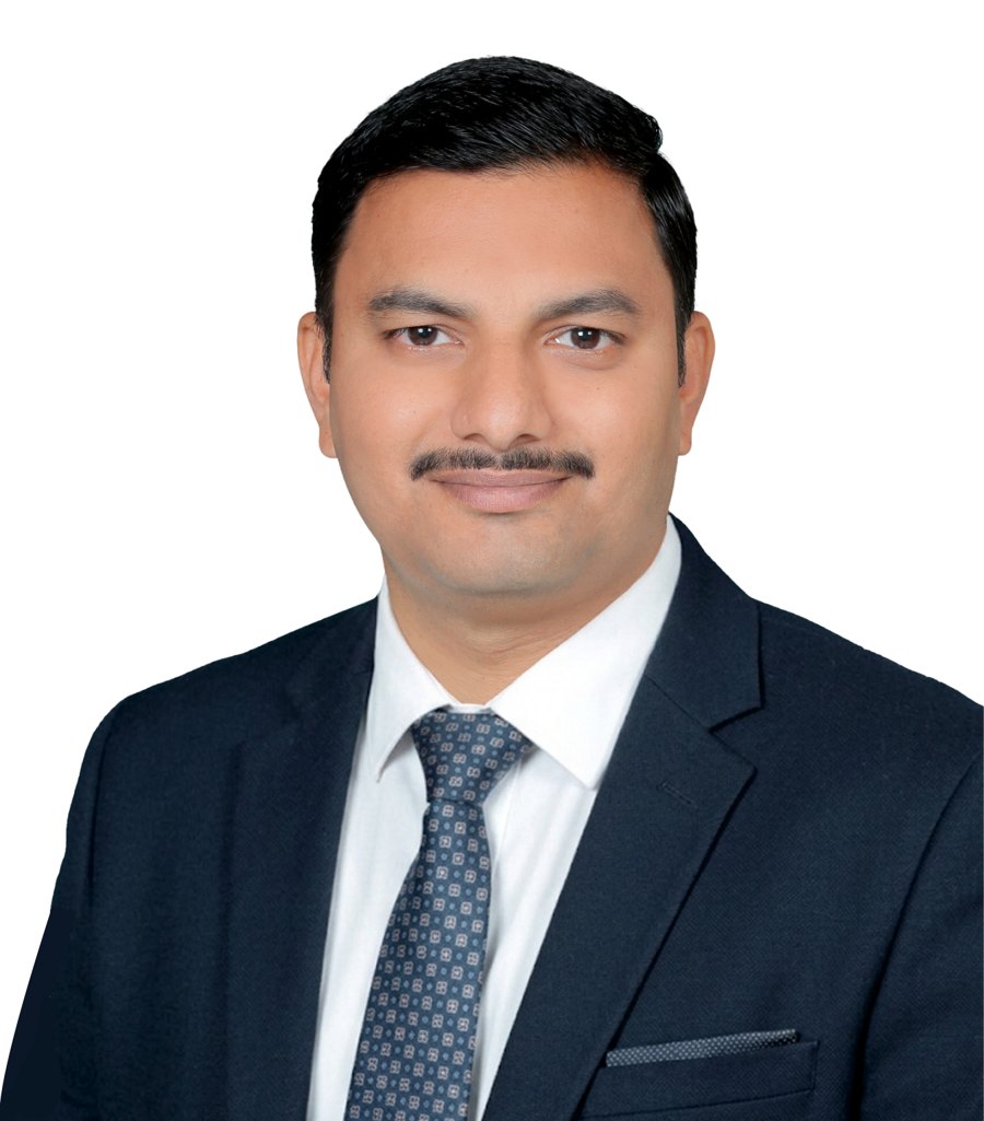
Instructor Dr. Abhijit Patil
What this course covers
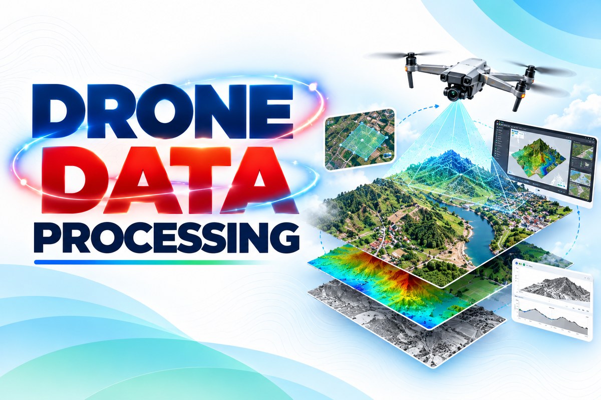
This practical course takes you through the complete drone mapping workflow, from flight planning and image acquisition to data processing, orthomosaics, DSM/DTM, 3D models and map preparation.
1
Drone surveying essentials
– Understand how drone surveys work and where they are used.
2
Drones, cameras & sensors
– Choose the right platform and sensor for your project.
3
Planning for accuracy
– Plan overlap, altitude and ground control for reliable results.
4
Automated flight planning
– Create automated mapping missions step by step.
5
Data processing
– Process imagery with and without GCPs into orthomosaics, DSM/DTM and 3D models.
6
Maps in QGIS
– Visualise and prepare final outputs and maps in QGIS.
Useful for students, researchers, surveyors and GIS professionals. Learn. Process. Map. Visualize.
Why Choose This Course
Practical drone mapping training built from 10+ years of teaching geospatial technology
Learn from a GIS educator
Taught by Dr. Abhijit Patil, Assistant Professor with an M.Tech in Geoinformatics and a PhD in geospatial technology.
Hands-on, step by step
Every lesson is a guided demo you can follow along with your own drone data.
Real projects for your portfolio
Produce orthomosaics, elevation models and 3D outputs you can show to clients, employers or use in research.
By the end of this course you will be able to
Course curriculum
chapters · lessons
Choose how you want to learn
Buy this course on its own, or get every recorded Think to Map course with a membership.
This course only
One-time payment
₹3,000
33% OFF
₹
1,999
1 year access
- Access to This Course Only
- Certificate Provided Upon Completion
1 Month membership
One-time payment
₹1,999
50% OFF
₹
999
One-time payment
- Access to All Courses
- Access to Updated Courses
- Access Duration: 1 Month
6 Months membership
One-time payment
₹5,999
50% OFF
₹
2,999
One-time payment
- Access to All Courses
- Access to Updated Courses
- Access Duration: 6 Months
Best value
1 Year membership
One-time payment
₹11,999
58% OFF
₹
4,999
One-time payment
- Access to All Courses
- Access to Updated Courses
- Access Duration: 1 Year
Prices in INR. Memberships include recorded courses only; live training is not included.
Meet Your Instructor
Learn GIS from someone who teaches it every day
Dr. Abhijit Patil
Assistant Professor, Geoinformatics
Dr. Abhijit Patil has more than 10 years of experience teaching GIS and geospatial technology. He holds an M.Tech in Geoinformatics and a PhD in geospatial technology for landslide risk, and works as a university Assistant Professor. He has published 22 research articles and guided more than 70 postgraduate projects.
10+ years teaching
5,000+ students
22 research articles
70+ PG projects guided
What learners say
Reviews from learners who took this course
Share your feedback
Frequently asked questions
Find answers to common course questions
No. The course starts from the basics of drone surveying. Basic computer skills are enough, and GIS users will also find advanced workflows.
Not necessarily. A drone helps you practise flight planning in the field, while the processing and mapping lessons are done on your computer.
You get 1 year of access from the date of purchase and can learn at your own pace on any device.
Buying the course gives you this course for 1 year. A membership gives you access to all recorded Think to Map courses for the membership period. Memberships do not include live sessions.
Start mapping with drones today
Join learners across India building practical GIS skills with Think to Map.

 200K+ creators trust Graphy